U.S. flag

An official website of the United States government

Event Date
June 8, 2026
1:00 pm - 2:00 pm
Location
Virtual

In this virtual seminar, Dan McEvoy, a researcher at the Desert Research Institute, will describe some ways snow droughts are defined, the role of warming temperatures on snow droughts, atmospheric drivers, and ongoing efforts to communicate real-time snow drought conditions and impacts to the water resources community.
Published on

From the unpredictability of flash droughts to dry conditions that threatened water supplies in major cities last year, the Mid-Atlantic faces complex challenges. To confront these growing risks, more than 50 federal, state, academic, and regional stakeholders convened to begin shaping the Mid-Atlantic Drought Early Warning System (DEWS).

Event Date
May 11, 2026
1:00 pm - 2:00 pm
Location
Virtual

In this virtual seminar, Jon Gottschalck, National Weather Service Climate Prediction Center, will provide an overview of drought monitoring and prediction products, outlook verification, Impact-Based Decision Support Services (IDSS) activities, and ongoing developmental efforts.

Event Date
April 13, 2026
1:00 pm - 2:00 pm
Location
Virtual

During this seminar, Richard Seager with Lamont-Doherty Earth Observatory of Columbia University will present on the use of an atmosphere model forced by plausible sea surface temperature scenarios to examine the mechanisms of aridification that connect, across seasons, the ocean, atmosphere, and land surface.
Published on

From the catastrophic wildfires in Southern California to record-low streamflow in the Northeast, drought and its impacts touched nearly every corner of the country. The year saw the unusual return of two La Niña events and devastating weather whiplash that brought historic floods to drought-stricken Texas. 2025 showed us that drought is even more devastating when compounded with other climate hazards, such as wildfire and flood. This list breaks down some significant drought-related events of 2025 that made 2025 a year of water extremes across the United States. 

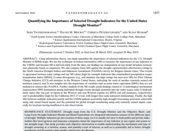
A team of scientists at the NASA Goddard Space Flight Center conducted research to quantify the relative importance—or “drought explainability”—of specific indicators with respect to the U.S. Drought Monitor.

Published on

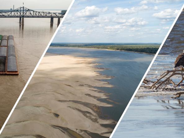
Actionable, user-friendly, and reliable information is essential for risk-informed decision-making across the Mississippi River Basin. In response to impacts of drought in the region, NOAA’s National Integrated Drought Information System (NIDIS) built a Mississippi River Basin Drought and Water Dashboard

Published on

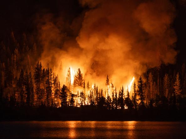
This summer, hot and dry conditions are already driving large wildfires in the Western U.S. Check out the 10 maps below to better understand the conditions underlying current large fires and what’s forecast for fire and drought in the coming months.

Published on

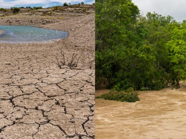
Weather whiplash is the abrupt and intense change from one extreme weather condition to another, such as dramatic temperature swings from hot to cold, heavy snowfall to rapid melt, and as is common in Texas, a period of prolonged drought followed by flooding. 

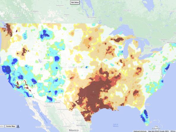
The US Gridded Standardized Precipitation Index (SPI) is derived from the nClimGrid-Daily dataset and and includes timescales of 1, 2, and 3 weeks, as well as 1, 2, 3, 4, 6, 9, and 12 months.

Subscribe to Temperature