U.S. flag

An official website of the United States government

Document Preview
Document Date
April 24, 2017
Document Description

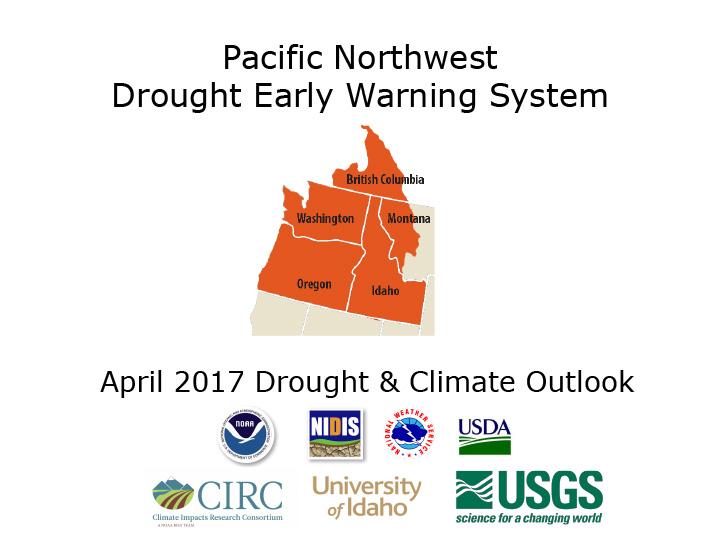
Data and maps summarizing conditions in the Pacific Northwest: U.S. Drought Monitor; precipitation and temperature; snowpack; reservoir storage; streamflow.

Document Preview
Document Date
April 24, 2017
Document Description

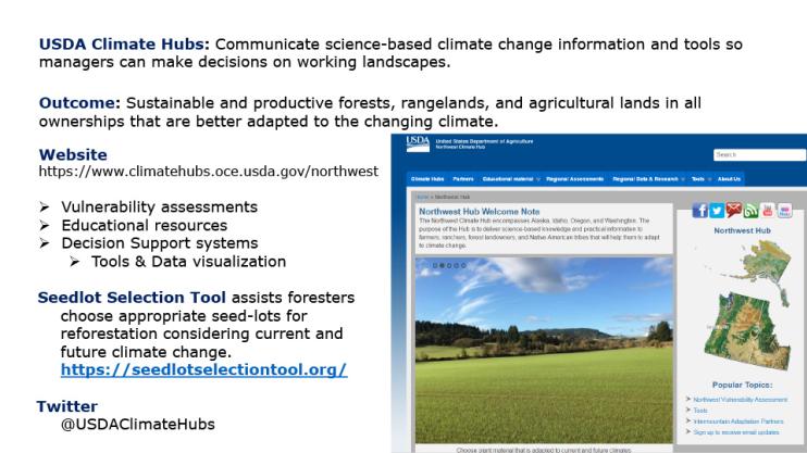
Basic information on the USDA Climate Hubs.

Document Preview
Document Date
April 24, 2017
Document Description

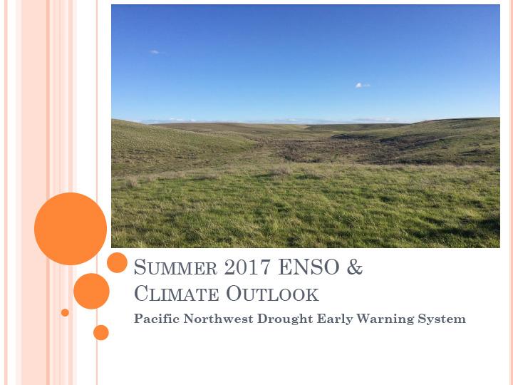
Current and forecast ENSO conditions (El Niño/La Niña) for summer 2017; climate outlooks for temperature and precipitation through September 2017; drought outlook through July.

Document Preview
Document Date
April 24, 2017
Document Description

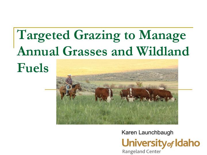
An overview of grazing and fuels and their relationship to wildfire. Summary:

  • Grazing can reduce fuels.
  • Grazing will not stop fires under very hot & dry conditions.
  • Grazing can reduce cheatgrass & grazing can increase cheatgrass.
  • Grazing can reduce fire intensity & promote recovery after fire. 
Document Preview
Document Date
March 21, 2017
Document Description

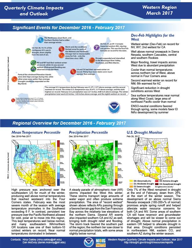
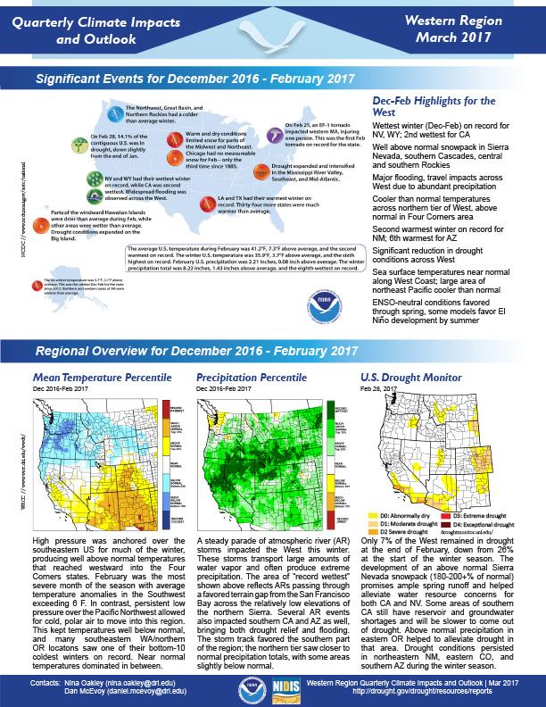
Quarterly Climate Impacts and Outlook for the Western Region for December 2016 – February 2017. Dated March 2017.   

Document Preview
Document Date
March 20, 2017
Document Description

HIghlights from December 2016, January and February 2017 for the Western states include:

Document Preview
Document Date
December 1, 2015
Document Description

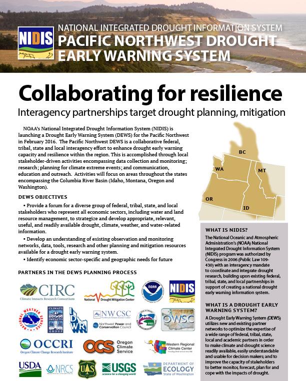
Describes the planning process leading up to the launch of the Pacific Northwest DEWS.

Document Preview
Document Date
July 1, 2015
Document Description

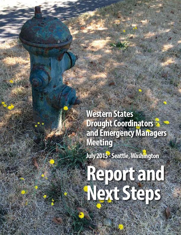
Report from first-ever meeting of state drought coordinators, emergency managers and state climatologists from across the West on July 21-22, 2015, to discuss emerging best practices in forecasting, planning for and responding to drought, and recent lessons learned. Held in Seattle, WA, hosted by NOAA, NIDIS, National Drought Mitigation Center (NDMC) and the Western Governors’ Association (WGA). Representatives from 16 of the 19 states within WGA attended (AK, AZ, CA, CO, ID, KS, MT, NB, NV, NM, OK, OR, SD, TX, UT, WA, WY).

Document Preview
Document Date
October 5, 2013
Document Description

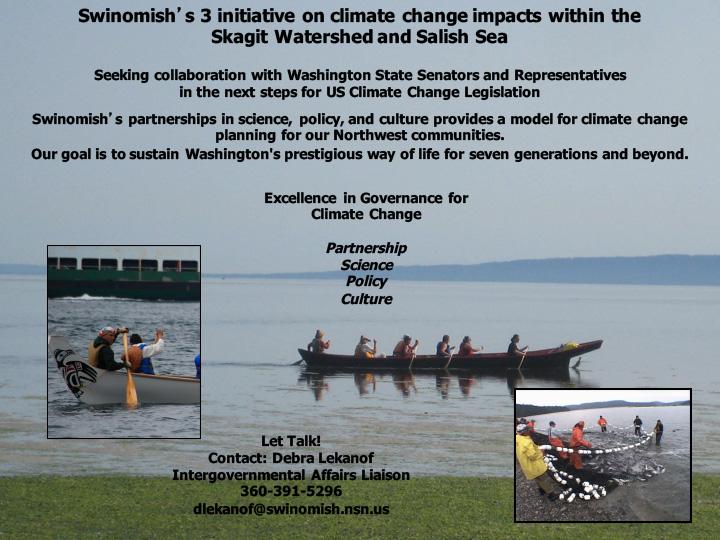
A presentation that was given at the Tribal Climate Change Adaptation Planning & Inter-Governmental Coordination Workshop which took place October 5-6, 2010 in Boulder, Colorado. Presentation was given by Debra Lekanof of the Swinomish tribe of Native Americans. Talks about the issues facing the Swinomish tribe as a result of climate change and uses experiences from the reservation as a case study.

Washington

Submitted by maddy.sherer on
Site Section
By Location | States
Resources Background Image
Trees and colorful plants in front of mountains in Mt Rainier National Park, Washington.
Web Resources Label
Drought Resources for Washington
Resources Section

Stay Informed: Local Drought Updates

Drought Alert Emails
Get email updates when U.S. Drought Monitor conditions change for your location or a new drought outlook is released.

Regional Drought Status Updates
NIDIS & its partners issue regional updates covering drought conditions, outlooks/forecasts, and local impacts.

Pacific Northwest Drought Email List(link is external)
Get regional drought status updates right to your inbox, as well as drought news, webinars, and other events for the Pacific Northwest.

Pacific Northwest DEWS Drought & Climate Outlook Webinars
These webinars provide the region with timely information on current and developing drought conditions, as well as climatic events like El Niño and La Niña.

Get Involved: Submit Local Drought Impacts

Drought in your area? Tell us how drought is impacting your community by submitting a condition monitoring report. Your submissions help us better understand how drought is affecting local conditions.

D3 Graph

U.S. Drought Monitor

The U.S. Drought Monitor (2000–present) depicts the location and intensity of drought across the country. Every Thursday, authors from NOAA, USDA, and the National Drought Mitigation Center produce a new map based on their assessments of the best available data and input from local observers. The map uses five categories: Abnormally Dry (D0), showing areas that may be going into or are coming out of drought, and four levels of drought (D1–D4). Learn more.

State Bridge
Statistics
6.0 Million

Washington residents in areas of drought, according to the Drought Monitor

Increase of
3.1%
since last week
3rd

driest June on record (since 1895)

0.45 in.
total precipitation
Decrease of
1.44 in.
from normal
7th

driest January—June on record (since 1895)

16.26 in.
total precipitation
Decrease of
5.65 in.
from normal
Current Conditions

Washington Current Conditions

A number of physical indicators are important for monitoring drought, such as precipitation & temperature, water supply (e.g., streamflow, reservoirs), and soil moisture. Learn more about monitoring drought.

Washington Precipitation Conditions

Inches of Precipitation
Precipitation Shown as a Percentage of Normal Conditions
100%
Precipitation Shown as a Percentage of Normal Conditions
100%

Washington Temperature Conditions

Maximum Temperature (°F)
60
Departure from Normal Max Temperature (°F)
0
Departure from Normal Max Temperature (°F)
0

Washington Streamflow Conditions

Streamflow Conditions

Washington Soil Moisture Conditions

0–100 cm Soil Moisture Percentile
70
100
Soil Moisture Anomaly
0%

Future Conditions

Outlooks & Forecasts for Washington

Predicting drought in Washington depends on the ability to forecast precipitation and temperature within the context of complex climate interactions. View more outlooks & forecasts.

Future Precipitation & Temperature Conditions

Predicted Inches of Precipitation
1.75
Probability of Below-Normal Precipitation
100%
Probability of Above-Normal Precipitation
100%
Probability of Below-Normal Temperatures
100%
Probability of Above-Normal Temperatures
100%

Drought Outlooks for Washington

Drought Is Predicted To...

Main Maps
Current Washington Drought Maps

Drought & Dryness Categories
% of WA
22.3
49.3
27.7
0.8
0.0
77.7
Drought Change Since Last Week
Dry Conditions
Wet Conditions
Dry Conditions
Wet Conditions

Experimental
Experimental
Planning & Response
Drought in Washington

Washington State bases its drought determinations on a drought definition found in state law. The definition is water supply-focused and includes both a hydrometeorological and impact threshold. An area is considered to be in drought when the water supply for that geographic area, or for a significant portion of that geographic area, is below or projected to be below 75% of normal and the water shortage is likely to create undue hardships for water users or the environment. Normal water supply is defined as the median amount of water available for the most recent official climate period (currently 1991–2020).   

Snowpack is critical to Washington’s water supply. Approximately three-quarters of the runoff from the Cascades originates as snowpack. (How much runoff originates as snow?(link is external)) This snowpack acts as a natural reservoir, and a weak snowpack or a shift in the timing of snowmelt can impact water supply in the spring and summer. Some lower-elevation basins are more rain-dominant, and spring precipitation is important for filling up soil moisture before the summer dry period develops. Annual precipitation varies drastically across the state, with coastal Washington receiving over 80 inches of precipitation, on average, and parts of the Lower Columbia Basin east of the Cascade Mountains receiving less than 10 inches(link is external). When making drought determinations, the state Water Supply Availability Committee considers forecasted conditions in addition to existing conditions. Streamflow forecasts from both the National Weather Service and the Natural Resources Conservation Service are primary factors, but other hydrometeorological variables are considered as well.  

In response to drought in the region, NOAA’s National Integrated Drought Information System (NIDIS) launched the Pacific Northwest Drought Early Warning System (DEWS) in 2016, encompassing Washington, Idaho, Oregon, and western Montana. The Pacific Northwest DEWS is a network of regional and national partners that share information and coordinate actions to help communities in the region cope with drought.

Reach out to Jason Gerlich(link sends email), the Regional Drought Coordinator for this region, for more information, or sign up(link is external) for the Pacific Northwest DEWS newsletter.

Drought Resources

Washington State Drought Resources

Graphs Header

Historical Drought Conditions in Washington

Drought is a normal climate pattern that has occurred in varying degrees of length, severity, and size throughout history. Below, you can look back at past drought conditions for Washington according to 3 historical drought indices. The U.S. Drought Monitor is a weekly map that shows the location and intensity of drought across the country since 2000. The Standardized Precipitation Index (SPI) is a monthly depiction of drought based on precipitation (with data going back to 1895). And the paleoclimate data uses tree-ring reconstructions to estimate drought conditions before we had widespread instrumental records, going back to the year 0 for some parts of the U.S. View more historical conditions.

Subscribe to Washington