U.S. flag

An official website of the United States government

Document Preview
Document Date
June 26, 2018
Document Description

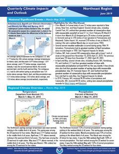
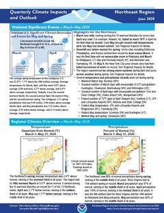
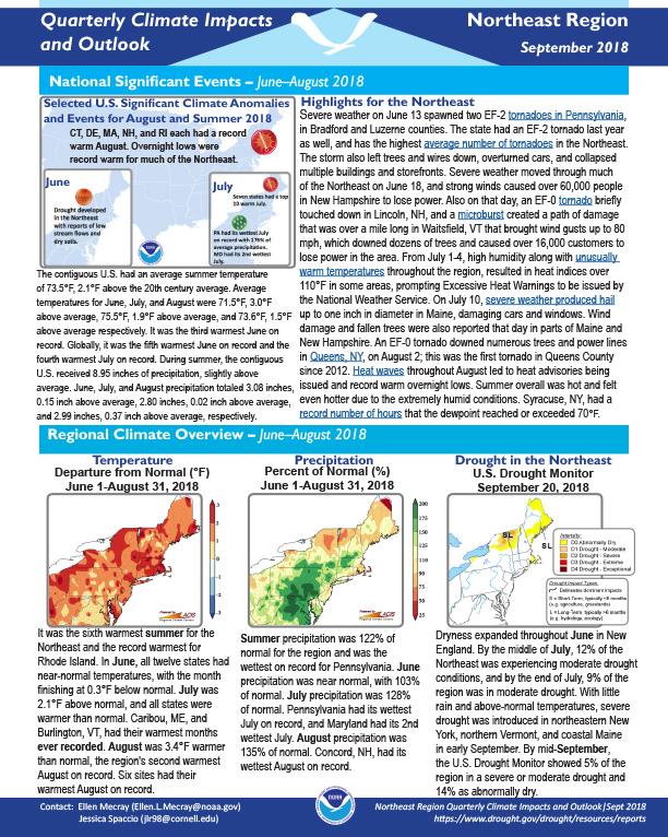
Quarterly Climate Impacts and Outlook for the Northeast Region for March – May 2018. Dated June 2018.   

On March 2, the first of several nor'easters brought significant snowfall. Up to 40 inches of snow fell in central and eastern New York, while up to 5 inches of rain was reported in southern New England and Long Island, which caused flooding. Strong winds associated with the storm downed trees and power lines; wind gusts greater than 90 mph were reported in Massachusetts.

Document Preview
Document Date
March 16, 2018
Document Description

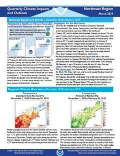
Quarterly Climate Impacts and Outlook for the Northeast Region for December 2017 – February 2018.  Dated March 2018.   

A storm from December 9 to 10 dropped up to 11 inches of snow on the region. While impacts were limited to flight delays and slick roads, it provided the first measurable snow and first inch of snow for more than a dozen major climate sites.

Document Preview
Document Date
December 21, 2017
Document Description

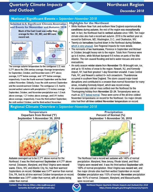
Quarterly Climate Impacts and Outlook for the Northeast Region for September – November 2017.  Dated December 2017.  

During autumn, moderate drought conditions eased, but abnormal dryness lingered in some areas. The dry conditions mainly affected streamflow, groundwater, and some water supplies. See Impacts section for details.

Document Preview
Document Date
November 21, 2017
Document Description

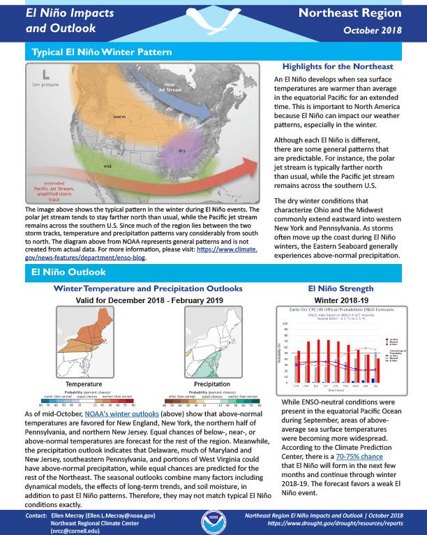
Describes typical La Niña winter patterns, Madden-Julian Oscillation, Arctic Oscillation, North Atlantic Oscillation; give outlook for winter temperatures and precipitation. 

Document Preview
Document Date
September 22, 2017
Document Description

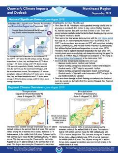
Quarterly Climate Impacts and Outlook for the Northeast Region for June – August 2017.  Dated September 2017. 

Summer precipitation was variable, with drought developing in Maine and extreme rain and flash flooding in other areas. During summer, the Northeast averages 28 tornadoes (based on NOAA's Storm Prediction Center data from 1989–2013). This summer, 38 tornadoes touched down in the region: 11 in Pennsylvania, 10 in New York, 7 in Maine, 4 in West Virginia, 3 in Maryland, 2 in New Jersey, and 1 in Delaware. 

Document Preview
Document Date
June 19, 2017
Document Description

Quarterly Climate Impacts and Outlook for the Northeast Region for March – May 2017.  Dated June 2017.

Document Preview
Document Date
March 17, 2017
Document Description

Quarterly Climate Impacts and Outlook for the Southeast Region for December 2016 – February 2017.  Dated March 2017. 

Document Preview
Document Date
March 17, 2017
Document Description

Quarterly Climate Impacts and Outlook for the Northeast Region for December 2016 – February 2017.  Dated March 2017.

Drought conditions lingered, but generally improved during winter. For details, see Climate Overview and Impacts sections.

A nor’easter dropped several inches of sleet in Maine from January 24–26. The National Weather Service said, “It was likely one of the biggest sleet storms in northern Maine during the past 75 years.” Elsewhere, strong winds and rough seas led to coastal flooding and beach erosion.

Document Preview
Document Date
December 1, 2015
Document Description

Significant events, climate overview, regional impacts and updates for Sept.-Nov. 2015 in the Eastern Region, with outlook for winter 2015-16.

West Virginia

Submitted by maddy.sherer on
Site Section
By Location | States
Resources Background Image
Blackwater Falls in West Virginia, surrounded by trees.
Web Resources Label
Drought Resources for West Virginia
Resources Section

Stay Informed: Local Drought Updates

Drought Alert Emails
Get email updates when U.S. Drought Monitor conditions change for your location or a new drought outlook is released.

Dry Times Bi-Weekly Drought Newsletter(link is external)
Issued every other Thursday, Dry Times is an email newsletter with the latest drought news, events, and data & maps.

NOAA Eastern Region Climate Services Webinars
The Northeast Regional Climate Center hosts a monthly webinar with NOAA affiliates to address timely weather and climate concerns.

Get Involved: Submit Local Drought Impacts

Drought in your area? Tell us how drought is impacting your community by submitting a condition monitoring report. Your submissions help us better understand how drought is affecting local conditions.

D3 Graph

U.S. Drought Monitor

The U.S. Drought Monitor (2000–present) depicts the location and intensity of drought across the country. Every Thursday, authors from NOAA, USDA, and the National Drought Mitigation Center produce a new map based on their assessments of the best available data and input from local observers. The map uses five categories: Abnormally Dry (D0), showing areas that may be going into or are coming out of drought, and four levels of drought (D1–D4). Learn more.

State Bridge
Statistics
0

West Virginia residents in areas of drought, according to the Drought Monitor

Change of
100%
since last week
40th

wettest June on record (since 1895)

5.02 in.
total precipitation
Increase of
0.65 in.
from normal
29th

wettest January—June on record (since 1895)

26.38 in.
total precipitation
Increase of
3.30 in.
from normal
Current Conditions

West Virginia Current Conditions

A number of physical indicators are important for monitoring drought, such as precipitation & temperature, water supply (e.g., streamflow, reservoirs), and soil moisture. Learn more about monitoring drought.

West Virginia Precipitation Conditions

Inches of Precipitation
Precipitation Shown as a Percentage of Normal Conditions
100%
Precipitation Shown as a Percentage of Normal Conditions
100%

West Virginia Temperature Conditions

Maximum Temperature (°F)
60
Departure from Normal Max Temperature (°F)
0
Departure from Normal Max Temperature (°F)
0

West Virginia Streamflow Conditions

Streamflow Conditions

West Virginia Soil Moisture Conditions

0–100 cm Soil Moisture Percentile
70
100
Crop Moisture Index

Future Conditions

Outlooks & Forecasts for West Virginia

Predicting drought in West Virginia depends on the ability to forecast precipitation and temperature within the context of complex climate interactions. View more outlooks & forecasts.

Future Precipitation & Temperature Conditions

Predicted Inches of Precipitation
1.75
Probability of Below-Normal Precipitation
100%
Probability of Above-Normal Precipitation
100%
Probability of Below-Normal Temperatures
100%
Probability of Above-Normal Temperatures
100%

Drought Outlooks for West Virginia

Drought Is Predicted To...

Main Maps
Current West Virginia Drought Maps

Drought & Dryness Categories
% of WV
0.0
0.0
0.0
0.0
0.0
0.0
Drought Change Since Last Week
Dry Conditions
Wet Conditions
Dry Conditions
Wet Conditions

Experimental
Experimental
Planning & Response
Drought in West Virginia

West Virginia is a geographically small state, yet expands approximately 225 miles north–south and 250 miles east–west due to the uniqueness of having two "panhandles." The Central Appalachian Mountains run through the eastern portions of the state, creating a disparity in precipitation—over 60 inches of precipitation falls annually on the western side while just a little over 30 inches falls annually on the eastern side. The variation of geography and topography causes precipitation to fluctuate significantly across the state, including periods of drought.

Since 1900, West Virginia has experienced several noteworthy droughts, including 1904, 1930–31, 1941, 1954, 1966, and 1988. During the drought of 1930–31, nearly 100% of the state experienced what currently would be referred to as D4, or “exceptional drought,” for 8 months. More recently, widespread exceptional drought occurred during the summer of 1988, accompanied by a heatwave. During the 2000s, increased precipitation amounts have reduced the severity of drought periods in the state. In fact, 5 of the top 10 wettest years on record have occurred since 2000. However, intermittent drought conditions can and still occur between periods of extreme precipitation.

NIDIS supports eight regional Drought Early Warning Systems (DEWS) throughout the United States. In addition, NIDIS supports states outside these regions, like West Virginia, by delivering drought early warning information through Drought.gov; investing in drought research to address key scientific and societal needs; and supporting the development of new tools and products that serve the entire nation.

Graphs Header

Historical Drought Conditions in West Virginia

Drought is a normal climate pattern that has occurred in varying degrees of length, severity, and size throughout history. Below, you can look back at past drought conditions for West Virginia according to 3 historical drought indices. The U.S. Drought Monitor is a weekly map that shows the location and intensity of drought across the country since 2000. The Standardized Precipitation Index (SPI) is a monthly depiction of drought based on precipitation (with data going back to 1895). And the paleoclimate data uses tree-ring reconstructions to estimate drought conditions before we had widespread instrumental records, going back to the year 0 for some parts of the U.S. View more historical conditions.

Subscribe to West Virginia