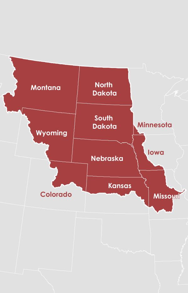
Missouri River Basin
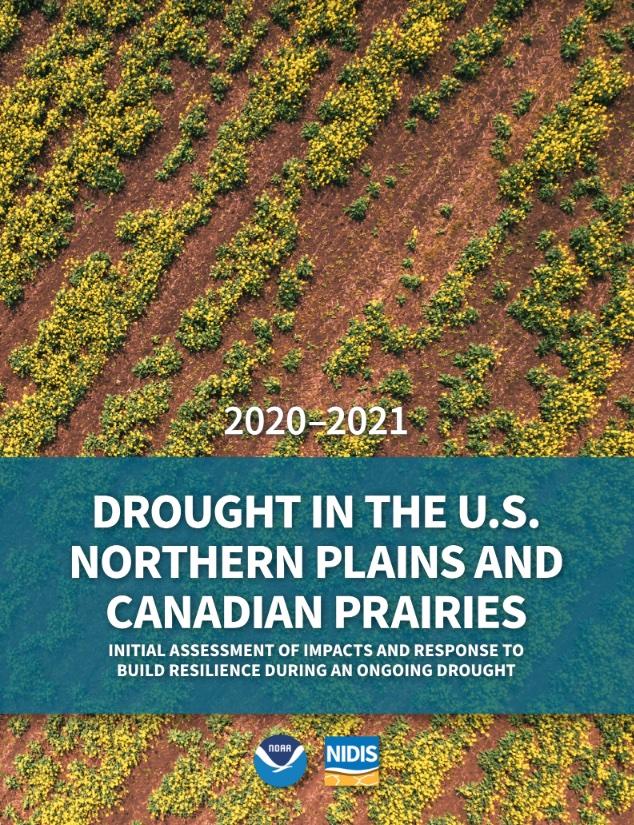
In the Missouri River Basin (MRB), drought is a common climate event. Prolonged droughts in the 1930s and 1950s substantially affected water supplies, agriculture, energy, transportation of goods, and ecosystems. More recently, short duration droughts wreaked havoc on the MRB. The intense 2012 summertime drought surprised the region, as flooding was expected to continue into a second year following the devastating floods of 2011. Flash drought in the U.S. Northern Plains and Canadian Prairies in 2017 resulted in $2.6 billion of agricultural losses alone. In 2020–2021, drought affected the same area and was a multi-billion-dollar event that had wide-reaching impacts on the region’s communities, ecosystems, water resources, and agricultural systems. It was particularly the floods of 2011 and then the extreme and rapidly evolving drought in 2012 that emphasized the need for an early warning system that not only could improve how we anticipate drought events but could also improve collaboration and coordination of data and monitoring networks for floods in the Missouri Basin.
Primary contact: Jason Gerlich, Regional Drought Information Coordinator
Featured Missouri River Basin DEWS Activity
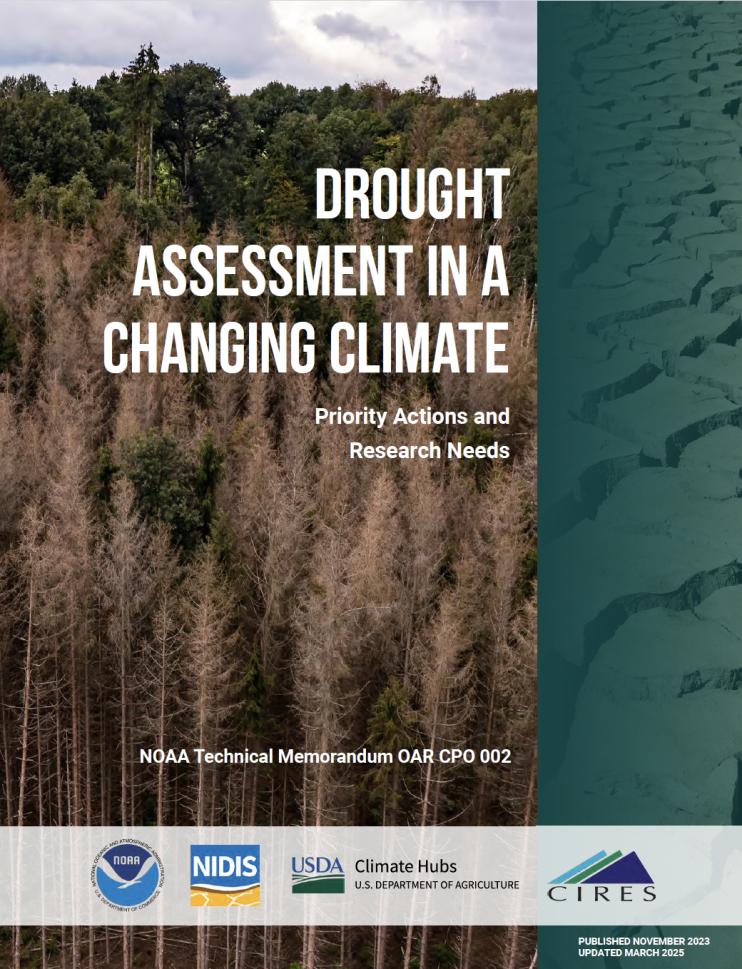
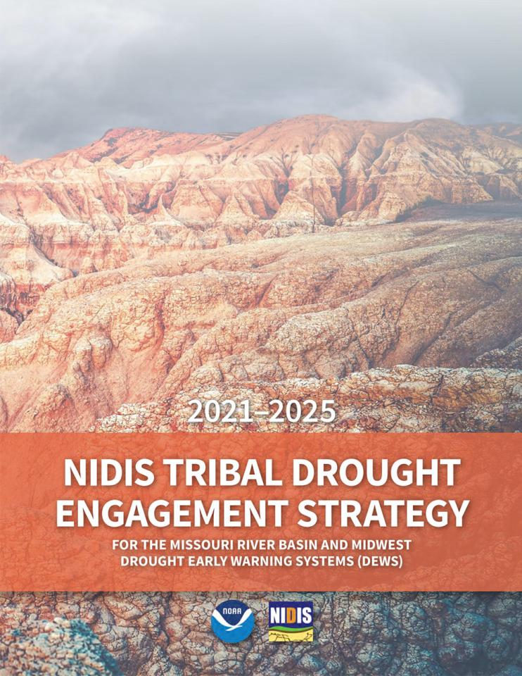
This synthesis, Rethinking Resilience: Toward Holistic Approaches to Drought Management on Tribal Lands in the Upper Columbia and Missouri River Basins, captures a range of best practices and opportunities that Tribal Nations, Tribal Colleges and Universities (TCUs), and their partners identified to strengthen engagement and action around drought resilience during the Workshop for Building Drought Resilience in a Changing Climate with Upper Columbia and Missouri Basin Tribes.
Regional Activities
The following table highlights activities in the Missouri River Basin that are ongoing efforts related to drought, involve multiple partners, serve as a unique way to address regional drought needs, and are related to at least one of the components of drought early warning. Please contact Jason Gerlich (jason.gerlich@noaa.gov) for more information about the table or to inquire about getting an activity added to the list.
DEWS Component Legend
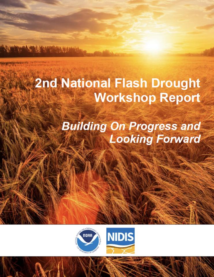
The 2017 drought was a rapid-onset event for northeast Montana, the Dakotas, and the Canadian Prairies during the spring and summer of 2017. It was the worst drought to impact the U.S. Northern…
2017
2019
The 2022 Midwest and Missouri River Basin DEWS Partners Meeting, which was held on October 13–14, 2022 in Omaha, NE, brought together partners from both the Midwest and…
2022
2022
To improve access and usability of drought and water information across the Mississippi River Basin, NOAA, in partnership with the U.S. Army Corps of Engineers, is developing a…
2024
2025
This project sought to develop drought adaptation plans for the Flandreau Santee Tribe and the Standing Rock Sioux Tribe. This project is unique in that it is sponsored in part by the…
2017
2018
Observation + Monitoring
When monitoring drought, it is important to look at data across the spectrum—from the atmosphere, land surface, and water availability below the surface. The list of data and maps below has been customized for the Missouri River Basin and provides a snapshot of conditions across that spectrum—including precipitation and temperature departure data, evaporative demand, streamflow, soil moisture, groundwater, and various derived indices for monitoring drought in the region. Monitoring for the impact of drought is also important, so this list includes resources to submit conditions and/or impacts and view conditions.
Regional Data and Maps
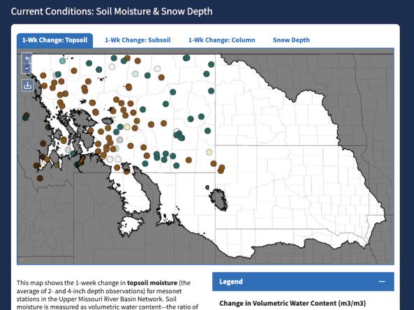
The Upper Missouri River Basin Soil Moisture and Snowpack Dashboard displays interactive maps of station-based soil moisture and snowpack data from the five state mesonets in the Upper Missou
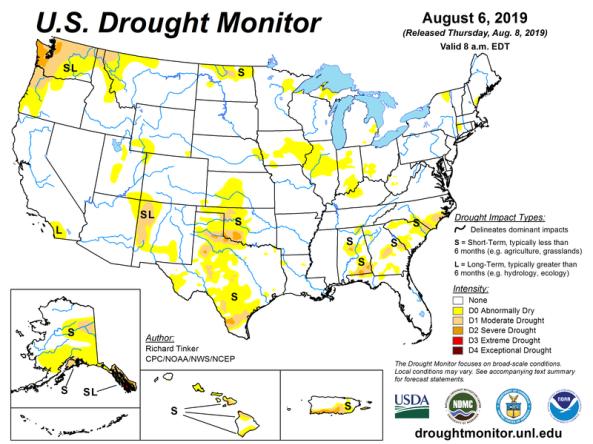
The U.S. Drought Monitor is a map updated each Thursday to show the location and intensity of drought across the country.
HPRCC produces daily climate maps using data from the Applied Climate Information System (ACIS). The maps and data can be accessed and downloaded from the HPRCC website.
The NOAA National Weather Service River Forecast Centers each have an interactive website with a full set of real-time observations and forecasts, including snow and river conditions
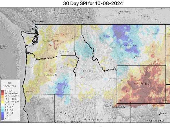
This website provides access to drought indices that are used by the Montana Governor’s Drought and Water Supply Advisory Committee (Monitoring Sub-Committee), though it covers the whole Upper
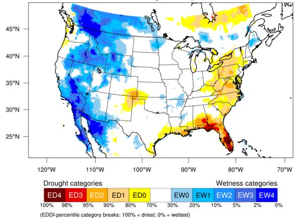
The Evaporative Demand Drought Index (EDDI) is an experimental tool that examines how anomalous the atmospheric evaporative demand (E0; also known as "the thirst of the atmosphere") is for a given
Planning + Preparedness
There is little that can be done to influence the weather patterns that cause drought, but preparatory actions and policies can help communities cope with drought impacts. Drought planning can ensure continuity of public services and quality of life. Drought planning can be done at the local and/or state level or integrated into existing plans (e.g., hazard mitigation planning, land-use planning).
Regional Drought Planning Resources
Prediction + Forecasting
When will drought affect me? How long could it last? This section includes resources for drought prediction and forecasting on what could be ahead, including the short-term (e.g., 8-14 day forecast), seasonal to subseasonal (e.g., monthly), and future climate projections (e.g., mid-century). The appropriate time scale will depend upon how this information is being used (e.g., drought response, mitigation management action, long-term planning). Weather and climate prediction is an evolving science, as researchers continue to find ways to improve models and forecasting capabilities at various time scales.
Regional Forecasts and Outlooks
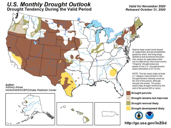
The U.S. Monthly Drought Outlook predicts whether drought will emerge, stay the same or get better over the next 30 days or so.
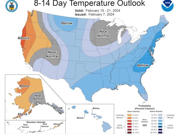
The Climate Prediction Center (CPC) produces temperature and precipitation outlooks for the U.S., including 6-10 day, 8-14 day, monthly, and seasonal outlooks.
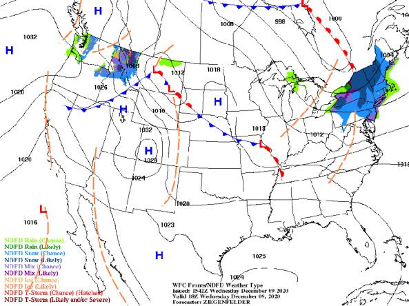
NWS provides a wide selection of forecast maps for temperature and precipitation for the next 12 hours to 6 days.
NWS WPC produces Quantitative Precipitation Forecasts (QPFs) that depict the amount of liquid precipitation expected to fall in a defined period of time.
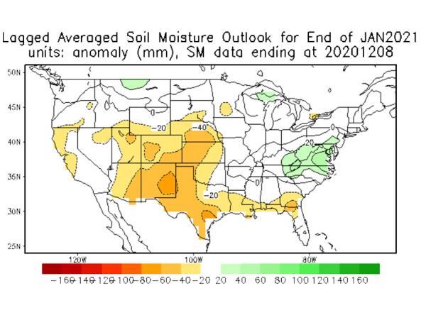
The National Weather Service (NWS) Climate Prediction Center (CPC) produces monthly and seasonal drought outlooks based on Soil Moisture (CAS).
Grass-Cast indicates for ranchers and rangeland managers what productivity is likely to be in the upcoming growing season relative to their own county’s 34-year history.
Communication + Outreach
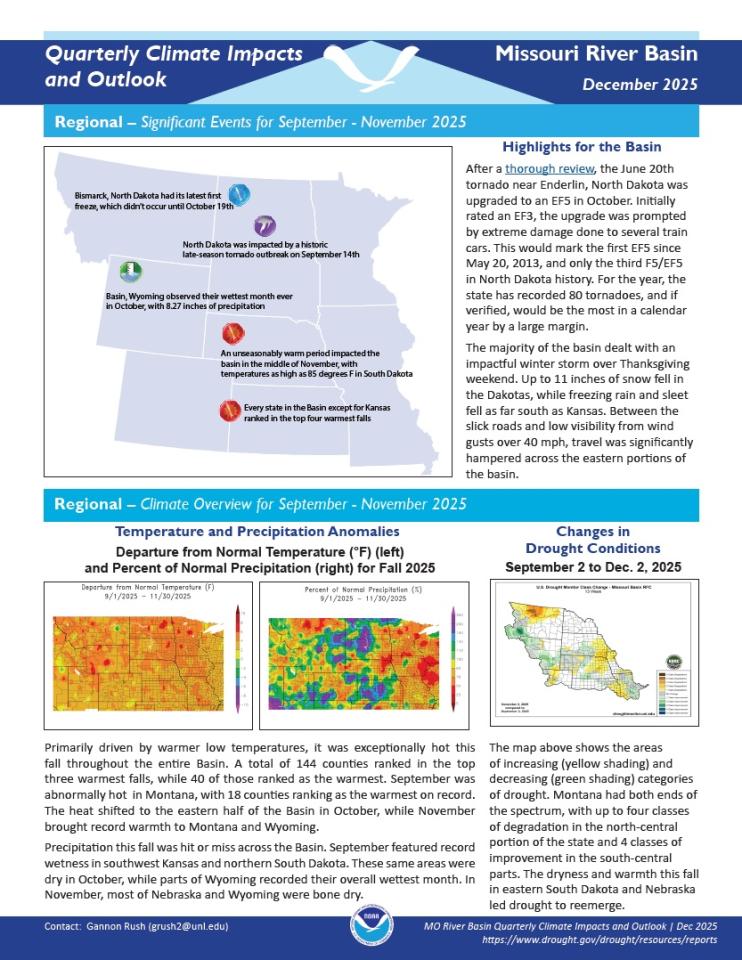
An important component for drought early warning is communicating this information to stakeholders across the Missouri River Basin region who need this information in order to make more informed decisions. There are various ways drought information is communicated across the Missouri River Basin, including a monthly webinar series, a quarterly climate report, and the Missouri River Basin DEWS email list. There are also regional and state-specific communications that are available within the region.
Regional Communications Documents
Research + Applications
Research to better understand drought in the Missouri River Basin and its development, persistence, improvement, and interaction with other hazards is critical to providing timely and reliable information, products, and services in support of drought early warning. This page highlights research projects that are studying drought in the Missouri River Basin region, with support from NIDIS.


